Field log · Durupınar site
Scientific Field Research on Mount Ararat
High-altitude geological documentation, subsurface scanning, and integrated field notes from an ongoing multi-disciplinary scientific investigation.
01Mandate
Noah's Ark Scans documents an ongoing field research initiative combining geological observation, topographic analysis, and scientific interpretation.
SiteDurupınar · 39.4408°N 44.2489°E
MethodsGPR · LiDAR · Photogrammetry
ProtocolNon-destructive · Open documentation
StatusOngoing research
Data output · subsurface
Subsurface Anomaly Interpretation
FIG. 01 · SUBSURFACE VISUALIZATIONIllustrative visualization · survey data pending validation
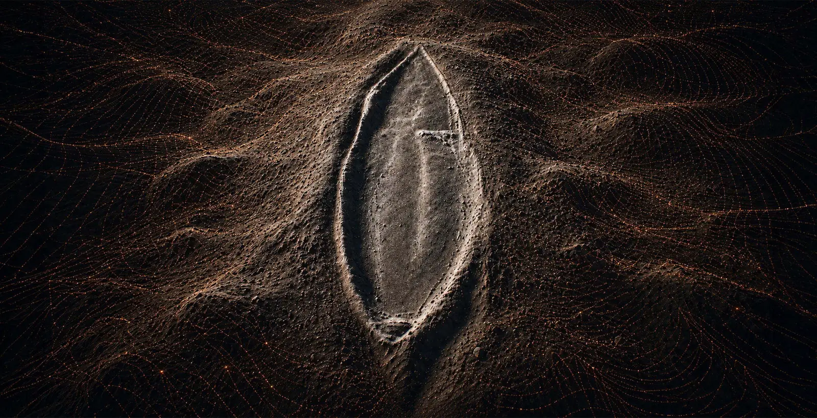
The programme maps, measures and publishes. Interpretation is documented separately from measurement, and every figure carries its acquisition context.
03News · log
All News Latest Updates
"Noah's Ark" claims under scientific investigation: internationally supported project begins
The Durupınar formation in Üzengili village, Doğubayazıt district of Ağrı, publicly known as "Noah's Ark", is now the subject of a comprehensive study with the participation of international scientists.
Officially Approved: The 2026 Noah’s Ark Research Project
The Republic of Türkiye has authorized a full geological research project at the Durupınar formation, directed by Prof. Dr. Cenker Atila of Sivas Cumhuriyet University in cooperation with Noah’s Ark Scans.
04Archive
Browse the Archive Field Documentation
The media archive is updated as field documentation is verified.


